Description
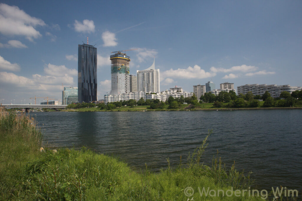
The Donauinsel (Danube island) is a 21km long and narrow artificial island in the Danube river (called “Donau” locally) that is part of a flood protection system for the city of Vienna, Austria. It has been turned into a recreational area, with picnic, sports, and swimming areas, and with endless walking and cycling paths. It also has many areas that are left undisturbed, where nature has free reign.
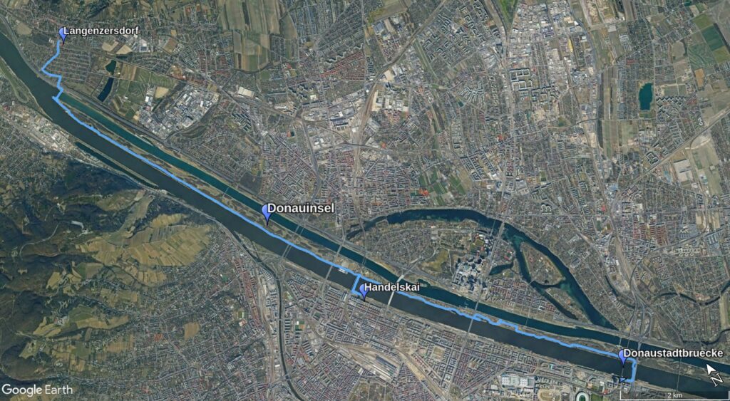
It’s a wonderful escape from the busy city, while technically still being within the city! Although I’ve been there many times, I always enjoy going for a walk here. This time I decided to walk from Langenzersdorf (just north of Vienna) to the northern tip of the island, and then all the way down to the Donaustadtbrücke, but broken up into two parts (using Handelskai as an exit and re-entry point).
Map & data

GPS track: Donauinsel2.gpx — Total length: 17km — Cumulative elevation: +/-0m
Public transport: Train (S3) to Langenzersdorf. Train (S45) or metro (U6) to/from Handelskai. Metro (U2) from Donaumarina.
Images