Description
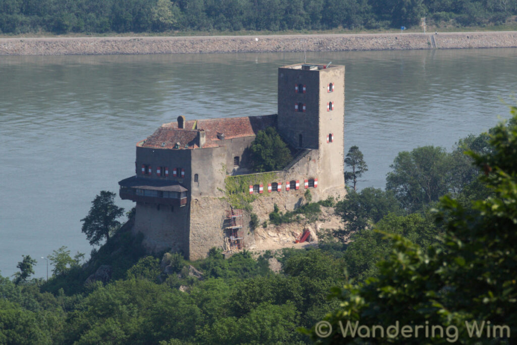
A hike through the hills and forests north of Vienna, at the bend in the Danube river. Saw some interesting wildlife (several snakes!), but not all of it the way I prefer to see it (a dead badger on the train tracks…).
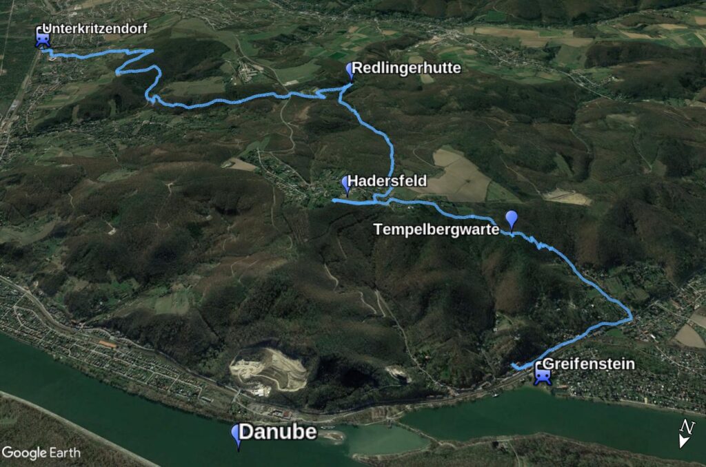
From Greifenstein up to the Tempelbergwarte, over to Hadersfeld, down to the Redlingerhütte, and across to Unterkritzendorf.
Practical info about the hike and a slideshow with images follow below.
Map & data


GPS track: Hadersfeld.gpx — Total length: 11.5km — Cumulative elevation: +/-500m
Public transport: Train (S40) from Vienna to Greifenstein-Altenberg, and return from Unterkritzendorf.
Images